Ken Smith shares thoughts on the housing-related legislation from the 2025-2025 session, with a detailed breakdown of legislation passed and potential impact on broader statewide housing goals.
Read more about "Housing-Related Legislation to Watch"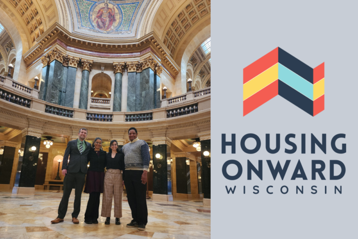
Ken Smith shares thoughts on the housing-related legislation from the 2025-2025 session, with a detailed breakdown of legislation passed and potential impact on broader statewide housing goals.
Read more about "Housing-Related Legislation to Watch"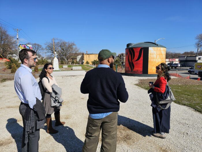
April was a full and energizing month for the 1000 Friends housing team! From Milwaukee conversations on community land trusts to housing summits, home tours, and workshops all across the state – we connected with partners and saw real progress toward expanding affordable housing in Wisconsin.
Read more about "Housing Onward May Update"
By Trevor Roark, Executive Director / Earth Month was a real treat this year. I had the opportunity to connect with friends, meet colleagues, and briefly chat with Governor Evers at the Governor and First Lady’s Earth Day Celebration a couple of weeks ago.
Read more about "Honoring Earth Month and Wisconsin’s Environmental Legacy"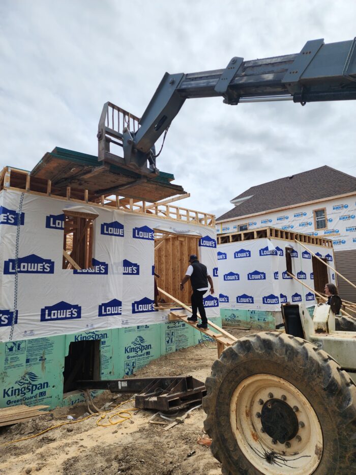
By Ken Smith, Housing Policy Director /
Behind every new home is a maze of local rules – and they matter more than you think. From zoning codes to approval timelines, the fine print of local regulations can quietly shape what gets built, where, and whether it gets built at all (often adding cost, delay, and uncertainty that limit housing supply).
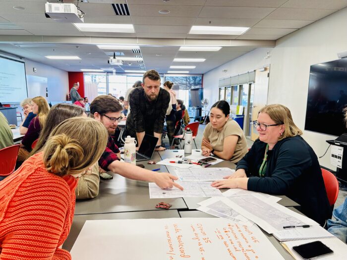
By Jen Walker, Community Programs Manager / What We’re Learning in the Madison Community Transportation Academy
Read more about "Transportation is Personal"
By Sharon Johnson, Lead Organizer / Housing conversations are happening everywhere in Madison, from community events to city meetings. In April, Madison For More Neighbors built momentum by connecting residents, advocates, and decision-makers around one shared goal: more accessible paths to homeownership.
Read more about "Madison For More Neighbors – April Update"Your monthly, quarterly, or annual gift provides the steady support that helps 1000 Friends of Wisconsin advocate for better communities, protect our natural resources, and advance lasting solutions across the state.
For a limited time, all new members who join 1000 Friends of Wisconsin and commit to recurring donations will receive an eco-friendly cotton tote bag and sticker as our thanks for supporting a healthier, more prosperous Wisconsin.